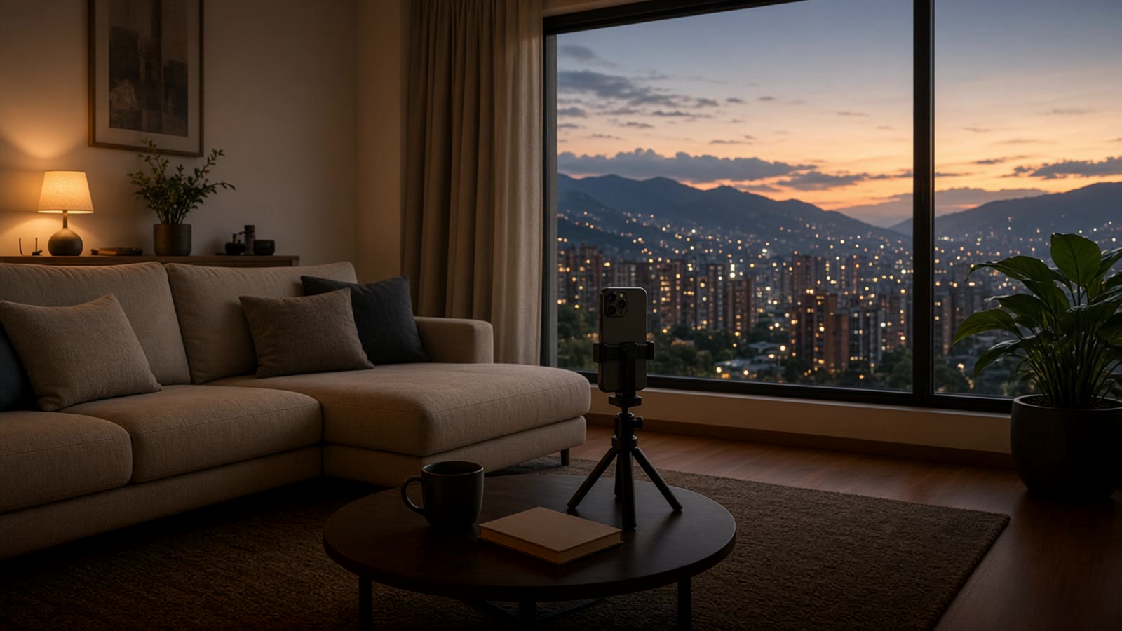
3D mapping your house: a model with real measurements before you touch a wall
How 3D mapping works for houses and apartments in Medellín: iPhone LiDAR scan, hundreds of photos, and a model checked against every photo. Useful for home automation, renovations, and vacation rentals.
Planning a smart home from an old floor plan, or from photos shot in a hurry, ends in surprises: the switch that landed behind the door, the sensor that can't see the hallway, the curtain that doesn't fit the frame. That's why we started offering 3D mapping for houses and apartments in Medellín and the Aburrá Valley.
The idea is simple. We come to the house, scan it, and rebuild it as a 3D model you can walk through, measure, and edit.
How it works
1. LiDAR scan. We use an iPhone with a LiDAR sensor — the same one Pro models ship with. As we walk each space, the phone records the geometry: walls, doors, windows, heights.
2. Hundreds of photos. At the same time we take many photos of every room, from several angles. Those are the reference for everything the scan doesn't catch well: furniture, finishes, outlets, lamps.
3. Software-assisted modeling. With the measurements and the photos, the model is built piece by piece. Each object is checked against the photos: a virtual camera sits at the same point where the real photo was taken, and the two images are compared. If something doesn't match, it's fixed and compared again.
It isn't a magic button that turns a scan into a perfect model. It's round after round of work, and that photo check is what makes it trustworthy.
The method is based on an open-source project, 3D Model Anything. In their demo, an office rebuilt this way came out within about an inch (around 2.5 cm) of the real measurements.
What it's for
Planning the home automation. With the model we see where each motion sensor, switch, and relay goes before opening a box. You can check what a sensor covers from a corner, or whether a Zigbee hub sits in a good spot for the house. If you're just getting started, read our home automation in Medellín guide and the motion sensor post first.
Vacation rentals and sales. A 3D walkthrough lets a guest or buyer see the whole space, with real proportions, without relying on wide-angle photos.
Renovations. The architect or contractor works from measurements taken on site. You can try where a piece of furniture goes, or how a wall will look, before buying materials.
Before and after. If you map before a renovation, you keep an exact record of how the house was. When the work is done, you compare it with the new version.
What you see in the model
You can look at the model like a dollhouse from above, walk it in first person, view it in plan, or as a wireframe. Each object stays separate, so you can move, remove, or change it without rebuilding everything.
The first house
The first demo will be a house in Borinquen — Ryan's, the founder of Domótica Medellín. When it's ready we'll publish it here so you can see a real result.
Privacy
The photos and the scan of your house are yours. We don't publish them or use them as an example without your written permission.
If you want to map your house or apartment, write us on WhatsApp or read about the service on 3D house mapping. And if you're not sure how ready your home is for automation, take the smart home quiz.